
UAVs and Drones

High-precision aerial mapping using UAVs/drones. Tecnimex provides topographic surveys and technical inspections through Engenharia da Certeza for large areas

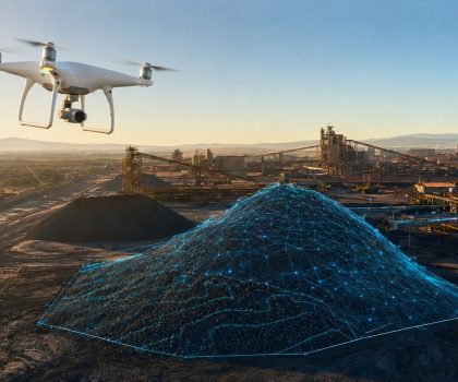
ChatGPT Image 22 de jul. de 2026, 11_14_30

AEROPHOTOGRAMMETRY AND 3D MAPPING

Go beyond the limits of the ground. Using UAV (Unmanned Aerial Vehicle) technology, Tecnimex combines rapid coverage with technical precision to deliver accurate mapping, volume calculations, and inspections of complex assets.

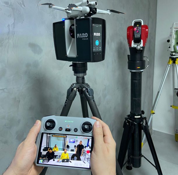
At Tecnimex, a drone isn't just a flying camera; it's a metrological sensor. Our consultative approach turns flights into precise assessments, allowing you to manage large, hard-to-reach areas and assets with complete control and safety.

Methodology​

Flight and Ground Planning

Determination of the required GSD (resolution) and establishment of ground control points for georeferenced surveying.

Capture Mission

Conducting a technical flight to collect images with high overlap and radiometric quality.

Photogrammetric Processing

Conversion of images into dense point clouds, orthophotos, and digital models.

Data Intelligence

Technical analysis of the results, generating volume reports, floor plans, or inspection reports to support decision-making.

WhatsApp Image 2023-08-14 at 15.31.58 (2)

Advantages

High Productivity

Surveying large areas in a fraction of the time required by conventional surveying methods.

Operational Safety

Inspections at hazardous or hard-to-reach locations without exposing employees.

A Wealth of Details

Creation of high-resolution digital models that enable accurate measurements and analyses.

Georeferenced orthophotomosaics, point clouds, MDS/MDT (surface and terrain models).

Integration with control points and positional correction systems for metric accuracy.

Equipment that can be adapted to meet different requirements for resolution and flight range.

DJI_0111

Aerial Photogrammetry

Aerial surveying for planning and engineering.
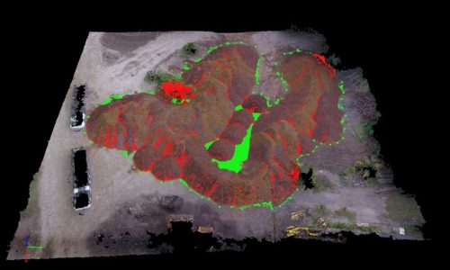
Relatório calculo de pilhas - Drone,2

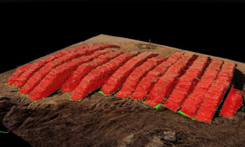
Volume Calculation

Accurate measurement of ore piles, inventory, and earthmoving.
DJI_0278

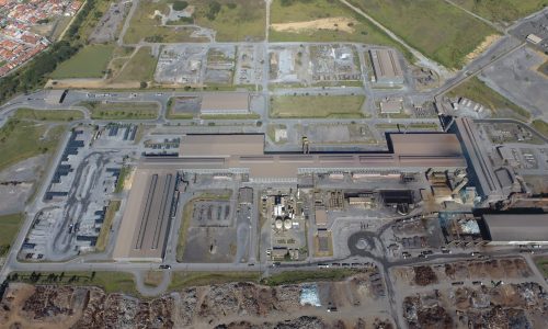
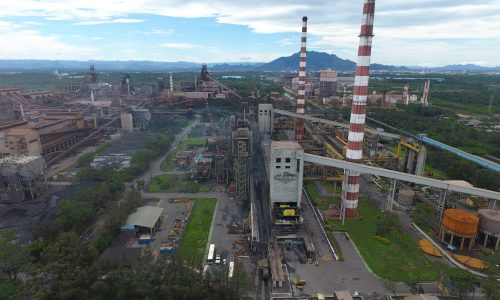
Mapping of Industrial Areas

Creation of up-to-date floor plans and orthomosaics of complex facilities.
Gemini_Generated_Image_4y83ak4y83ak4y83

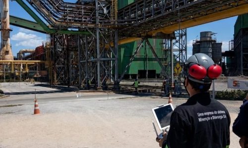
Inspection of Critical Assets

Inspection of roofs, chimneys, towers, and hard-to-reach structures.
tecnimex-3d-drone-papel-celulose-madeira-tora

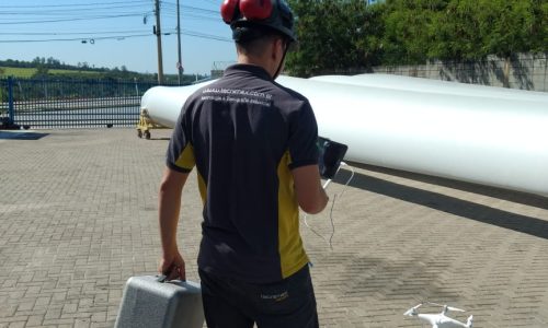
3D Modeling and Digital Models

Creation of 3D models for visualization and retrofit projects.
WhatsApp Image 2018-12-14 at 15.36.27

Environmental and Construction Monitoring

Monitoring the physical progress and compliance of large-scale projects over time.
Ready to improve the accuracy of your industrial processes?

Ensure precision in high-volume production with Tecnimex technology or our engineering consulting services

This site is registered on wpml.org as a development site. Switch to a production site key to remove this banner.