GPR - GROUND-PENETRATING RADAR

Utility detection and underground mapping using GPR technology. Tecnimex provides Engineering with Confidence for safe excavations and structural work.

WhatsApp Image 2024-05-21 at 14.58.49

THE VISIBILITY YOUR ENGINEERING NEEDS BELOW THE SURFACE.

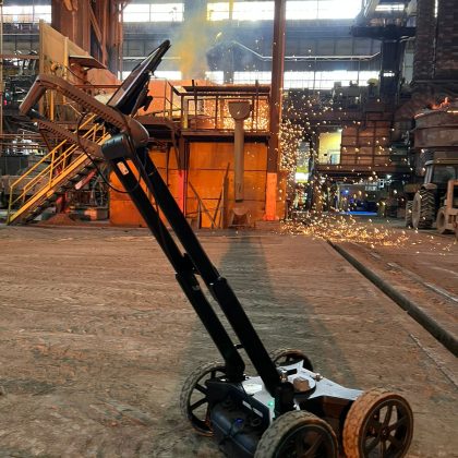
Eliminate uncertainties in excavation and structural drilling. Using Ground-Penetrating Radar (GPR) technology, Tecnimex maps hidden utilities and obstacles, providing certainty before the first shovel hits the ground.
More than just radar, we deliver an accurate assessment of the subsurface or concrete structures. Our consultative approach uses GPR to mitigate risks, prevent damage to utilities, and ensure that your project plan is followed with technical precision.

Methodology​

Field Diagnosis

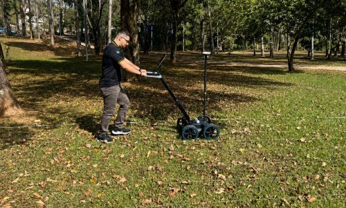
Assessment of the area and determination of the optimal wave frequencies for the depth and resolution required by the project.

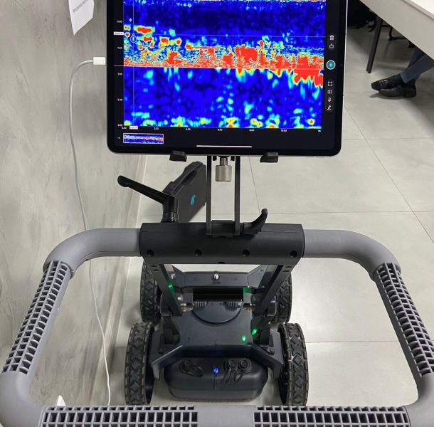
Electromagnetic Scanning

Data acquisition using high-precision radar pulses over the surface.

Processing and Interpretation

Our technical team filters and analyzes the signals to identify utilities, rebar, and anomalies in the soil or concrete.

Submission of the Interference Map

A detailed technical report specifying the location and depth of the elements found, serving as a reliable guide for construction

WhatsApp Image 2023-08-14 at 15.32.03

Advantages

Non-Destructive Testing

A thorough inspection without the need for exploratory excavations or damage to the structure.

Operational Safety

Identification of pipes, live cables, and empty conduits that pose critical risks.

High-Resolution Data

Electromagnetic technology that converts wave reflections into high-fidelity technical maps.

Use of high-frequency electromagnetic pulses for maximum resolution.

3D utility models, depth maps, and technical compliance reports.

Suitable for use on soil, asphalt, concrete, and other industrial surfaces.

fcadb988-fd4a-4445-bbb8-60ca9c4ffaf8

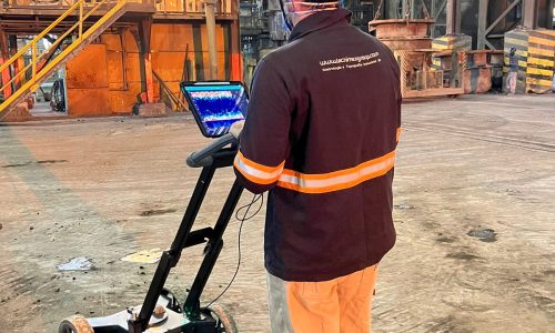
Breakdown of Utilities

Mapping of water, gas, sewer, and telecommunications networks.
WhatsApp Image 2024-05-21 at 14.58.48

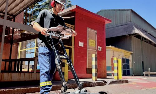
Locating Live Cables

Identification of hidden electrical infrastructure.
IMG_7838

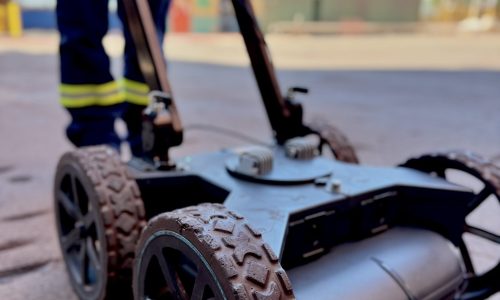
Inspection of Concrete Structures

Detection of rebar, prestressing tendons, and internal defects (voids).
IMG_7859

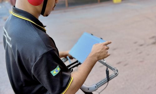
Industrial Subsurface Mapping

Inspection of old foundations and underground tanks.
IMG_7861

Identification of Buried Objects

Identification of obstacles that may interfere with excavation or pile driving.
Ready to improve the accuracy of your industrial processes?

Ensure precision in high-volume production with Tecnimex technology or our engineering consulting services

This site is registered on wpml.org as a development site. Switch to a production site key to remove this banner.